National Landslide Forecasting Centre Launched in Kolkata
Coal and Mines Minister G Kishan Reddy inaugurated the National Landslide Forecasting Centre (NLFC) in Kolkata, which aims to improve landslide risk assessment and early forecasting. The new initiative will initially serve residents of Kalimpong, Darjeeling, and Nilgiri, with plans for expansion to all landslide-prone states by 2030.
- Country:
- India
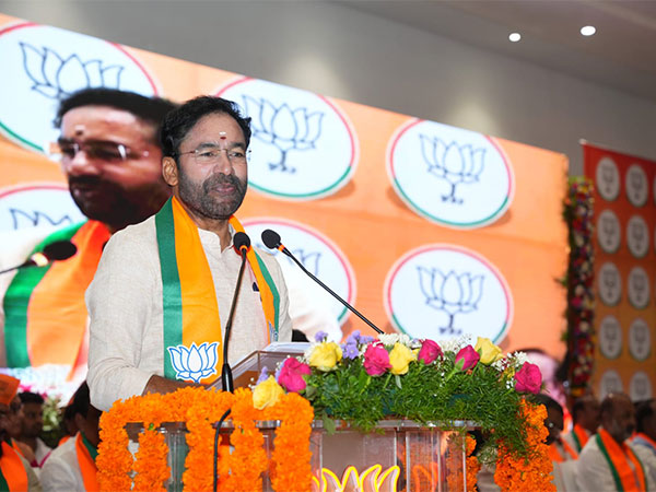
Coal and Mines Minister G Kishan Reddy inaugurated the National Landslide Forecasting Centre (NLFC) in Kolkata on Friday.
Reddy also launched the 'Bhusanket' website and the 'Bhooskhalan' mobile app for disseminating forecast data.
'The primary aim of the NLFC is to integrate, generate and disseminate daily landslide forecast for multiple states and to contribute to better landslide risk assessment and early forecasting. Landslides can not be stopped but the loss of lives and damage to properties can be prevented,' said Reddy.
'This launch marks a landmark moment in the Centre's quest towards landslide prevention and disaster preparedness across the nation,' he noted.
Initially, residents of Kalimpong and Darjeeling in West Bengal, and Nilgiri in Tamil Nadu will get forecasts about landslides, Reddy added. The system will be expanded to all landslide-prone states by 2030.
Landslide forecasts will be provided in two-time scales -- short-range (two days) and medium-range (seven days), the minister said.
The NLFC, operating under the Geological Survey of India (GSI), will provide early information to local administration and communities, update landslide inventories, and integrate real-time rainfall and slope instability data for enhanced forecasting accuracy, according to an official statement.
Meanwhile, the GSI has completed mapping 4.3 lakh sq km of landslide-prone areas across 19 states and union territories under the National Landslide Susceptibility Mapping programme.
The agency has developed a prototype technique for forecasting rainfall-induced landslides on a regional scale through the LANDSLIP international research program.
Rainfall has been identified as the primary trigger for landslides in the country; thus, the forecasting system has been integrated with meteorological data.
(With inputs from agencies.)
ALSO READ
Mumbai Doctors Protest Over Trainee Doctor's Tragic Death in Kolkata
Nationwide Outrage Over Rape-Murder of Kolkata Doctor: BJP and Protestors Speak Out
Paras Health Condemns Attack on Kolkata Doctor, Calls for Enhanced Security Measures
Medical Fraternity Demands Safety After Kolkata Tragedy
BJP Demands Mamata Banerjee's Resignation Amid Kolkata Hospital Rape-Murder Case


