Severe weather has ravaged the far southeastern regions of Libya since early August 2024, with the most intense impacts felt in border areas near Niger, Chad, Sudan, and Egypt. The extreme weather event, triggered by the northward movement of the Inter-Tropical Convergence Zone (ITCZ), has led to an unprecedented amount of rainfall, resulting in floods and landslides.
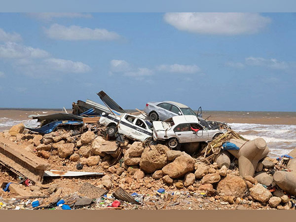
From August 6, 2024, weather patterns driven by the ITCZ have brought substantial rain to the region, with Kufra City experiencing particularly severe effects. On August 11, 2024, heavy rains and strong winds caused extensive flooding, leading to significant infrastructure damage and casualties. The floodwaters inundated Kufra General Hospital, caused trees and electricity poles to fall, and led to valley runoff.
The amount of rainfall recorded at Kufra Observing Station reached 51 mm within 24 hours, the highest daily total since records began in 1952. The flooding has had a tragic impact, resulting in the deaths of four individuals of Chadian nationality and causing substantial disruption to local services.
The National Meteorological Centre (NMC) played a crucial role in responding to the crisis. An early warning was issued 72 hours before the extreme weather event, and updates were provided to public sectors and media outlets. Despite these warnings, the scale of the flooding and landslides has overwhelmed local resources and infrastructure.
EUMETSAT satellite images from August 11, 2024, illustrate the severe weather patterns, with red and blue color overlays indicating the temperature variations associated with the storm.
As the region continues to recover from this extreme weather event, the focus will be on addressing the immediate impacts and preparing for future climate-related challenges.