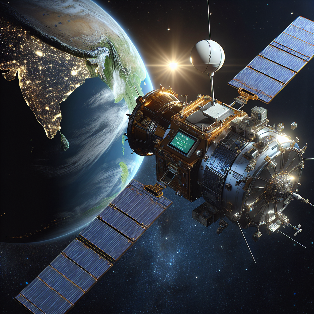
New Zealand's GPS accuracy has taken a major leap forward with the activation of two 11-metre satellite dishes as part of the Southern Positioning Augmentation Network (SouthPAN) project. Land Information Minister Chris Penk celebrated this milestone, highlighting the network’s potential to improve GPS precision from five to ten metres down to under one metre, and in some cases, as accurate as 10 centimetres.
"New Zealanders rely on GPS daily for tasks ranging from ordering food to navigating urban environments. Critical applications, including emergency response coordination and air traffic control, also depend heavily on precise GPS information," said Mr. Penk.
One of the most immediate benefits of SouthPAN will be reduced flight disruptions caused by poor weather conditions. The enhanced GPS accuracy is expected to decrease weather-related flight cancellations and delays, improving safety and efficiency in aviation by facilitating better navigation during low visibility conditions.
Recent winter weather-induced flight cancellations underscored the urgent need for advanced digital infrastructure to support safe and efficient movement of people and goods.
SouthPAN’s impact extends beyond aviation. The project, which is anticipated to contribute $864 million to New Zealand’s economy over the next 20 years, will enhance productivity and save labor across various sectors. Benefits include improved resource management, more precise maritime operations, and real-time livestock monitoring via digital fencing.
The SouthPAN initiative, a collaborative effort between the New Zealand and Australian governments, features a Southland-based facility that works in conjunction with a new centre in Uralla, New South Wales. This partnership not only boosts resilience by providing a backup station but is also vital for safety applications such as aviation.
Currently, some SouthPAN services are already accessible to the public and boast a 99.5 per cent reliability rate. The full network is set to be completed within the next three years, promising further advancements and innovations in GPS technology.