AI-Powered Slum Mapping: A Breakthrough in Slum Detection and Urban Planning
The transformative potential of deep learning and high-resolution satellite imagery for accurate slum mapping significantly enhances intervention and urban planning efforts in alignment with the UN's Sustainable Development Goals. This approach, focusing on regions like Mumbai, Shenzhen, and Nairobi, provides crucial data for effective resource allocation and infrastructure development in slum areas.
Researchers from the Indian Institute of Technology Kharagpur and Tata Consultancy Services Research have showcased the transformative potential of deep learning for slum mapping using remote sensing images. This study aligns with the United Nations' Sustainable Development Goals (SDGs) for 2030, emphasizing sustainable cities, poverty eradication, and reduced inequalities. The challenge of accurately identifying and mapping slums, especially in less developed countries, is significant due to the high costs and time-consuming nature of ground surveys. However, advances in very-high-resolution (VHR) satellite imagery and deep learning have revolutionized this field. The research presents a comprehensive review and meta-analysis of slum mapping techniques from 2014 to 2024, focusing on advancements in neural network architectures and data preprocessing that have significantly enhanced the accuracy of slum identification.
The Urban Challenge: Mapping Slums with Precision
Slums, or informal settlements, are characterized by deplorable living conditions, high population density, inadequate housing, and limited access to essential services. These areas are breeding grounds for communicable diseases, often exacerbated by climate-induced migration. Accurate slum mapping is vital for effective intervention, resource allocation, and infrastructure development. It provides policymakers with the necessary data to prioritize improvements and integrate informal settlements into the urban fabric, promoting inclusivity and resilience in cities. The evolution of slum mapping technologies from ground surveys to remote sensing has been significant. Modern satellite imagery, such as from Sentinel, Ikonos, and WorldView satellites, provides detailed urban data that helps identify the complex features of slum areas. The integration of advanced sensors on drones and aircraft, combined with LiDAR technology, has further enhanced the accuracy of slum mapping.
Revolutionizing Detection: From Ground Surveys to AI
Before the advent of machine learning, techniques like object-based image analysis (OBIA) and texture analysis were used to identify slum areas. These methods laid the groundwork for current state-of-the-art approaches. OBIA segments satellite images into meaningful objects based on their spatial, spectral, and textural properties. This method has been refined over time to improve the classification of slums. However, challenges remain, such as spectral noise from the materials used in slum construction and the context-specific nature of the algorithms used. Deep learning, particularly convolutional neural networks (CNNs), has proven to be a game-changer in this field. These models can process high-dimensional imagery and extract intricate patterns, often invisible to human analysts. The study outlines various deep learning architectures, such as U-Net, GASlumNet, and transformer-based multimodal fusion networks, which have been employed for slum mapping. These models are capable of capturing the complex spatial patterns of slums and have demonstrated high precision and recall in identifying slum areas.
Bridging Data Gaps: Meta-Analysis Insights
The researchers conducted a meta-analysis to compile and evaluate studies using deep learning for slum mapping. They selected 40 publications from reputable academic databases, focusing on articles from 2014 to 2024. This analysis revealed the growing yet nascent exploration of this field. It identified key methodologies and challenges, such as data limitations and the need for context-specific adaptations of neural network models. The study also examined the regions of study, data sources, and data preparation techniques used in these publications. Asia and Africa were the primary regions of focus, with India, China, and Kenya leading in the number of studies. Various satellite data sources, including Sentinel, Google Earth, and WorldView, were utilized, reflecting the need for high-resolution imagery for detailed analysis. Data preparation techniques included pre-processing, data cleaning and integration, and data augmentation, all essential for enhancing model accuracy. The implications of these findings are significant for future research and policy-making. Accurate slum maps generated through advanced techniques can inform targeted interventions for slum upgrading, infrastructure development, and service provision. This study underscores the importance of robust data collection, meticulous data preparation, and the application of sophisticated deep learning models to achieve effective urban management and policy-making.
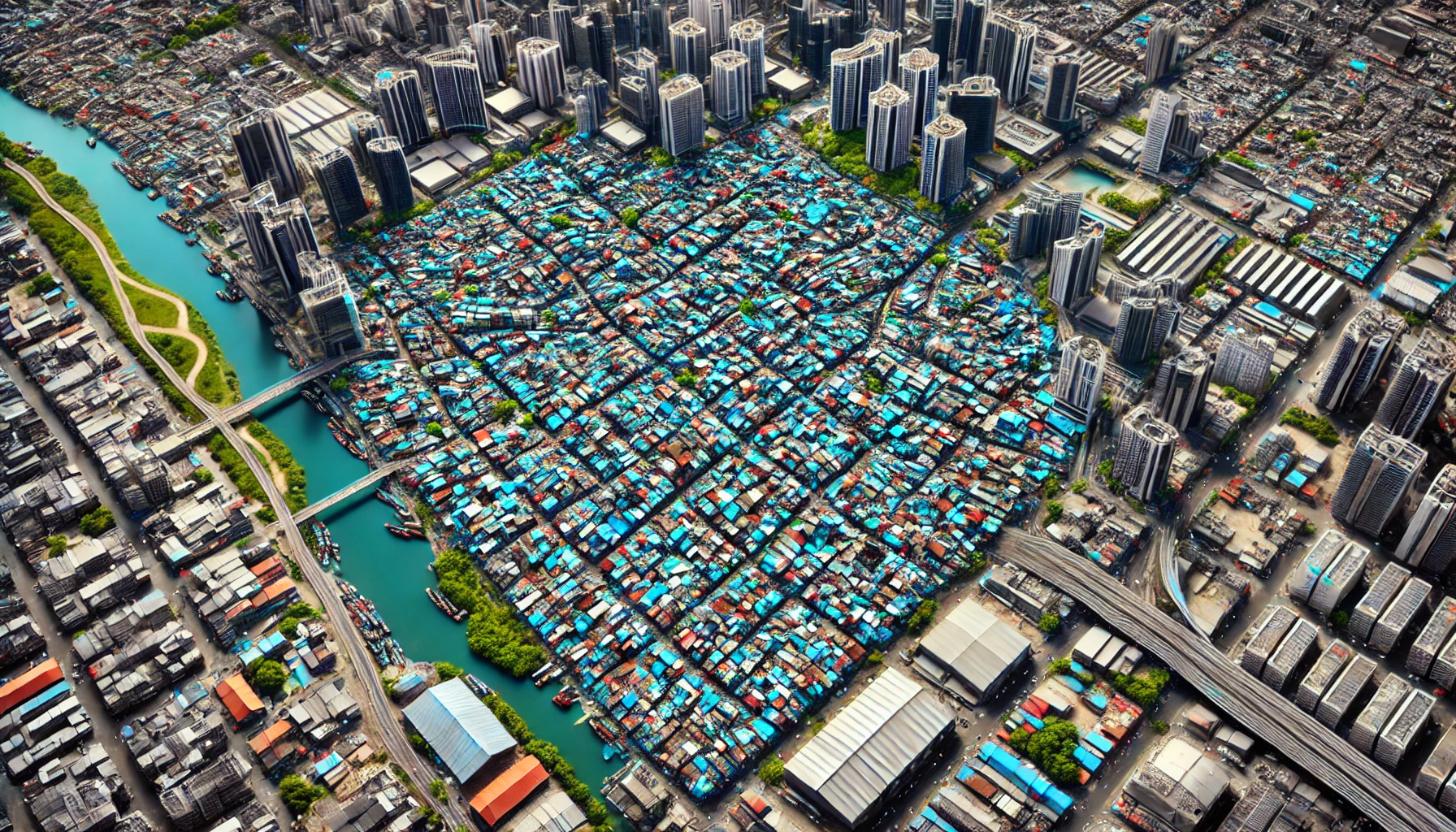
Global Focus: From Mumbai to Nairobi
The geographical concentration of research on slums in Asia and Africa is notable. Regions like Mumbai, Shenzhen, and Nairobi have emerged as focal points, reflecting a global concern for improving living conditions through enhanced urban planning. Each of these regions represents unique facets of the global slum phenomenon. Mumbai epitomizes the contrasts of thriving economic growth alongside sprawling slums like Dharavi. The diverse texture and density of Mumbai's slums make it an ideal case study for deploying and testing deep learning models. Shenzhen's rapid urbanization has led to the growth of informal settlements, often overshadowed by the city's economic status. Studies in Shenzhen have combined remote and social sensing data to address urban sprawls, integrating street-level imagery for a more human-centric analysis. Nairobi’s slums, characterized by high population densities and inadequate infrastructure, are a stark representation of the quintessential African urban slum. The emphasis on models that map deprivation from citizen votes in Nairobi represents a shift towards more inclusive, community-focused urban research. The application of deep learning models across these regions is not just technological but also an attempt to incorporate socioeconomic factors. The study's meta-analysis of 40 publications provides a comprehensive overview of the advancements and challenges in slum mapping using deep learning. It underscores the importance of accurate and detailed data, robust data preparation, and the need for context-specific adaptations of neural network models. This research offers significant insights for future studies and policy-making, emphasizing the potential of deep learning to transform slum mapping and contribute to the achievement of the SDGs by 2030.
- FIRST PUBLISHED IN:
- Devdiscourse


