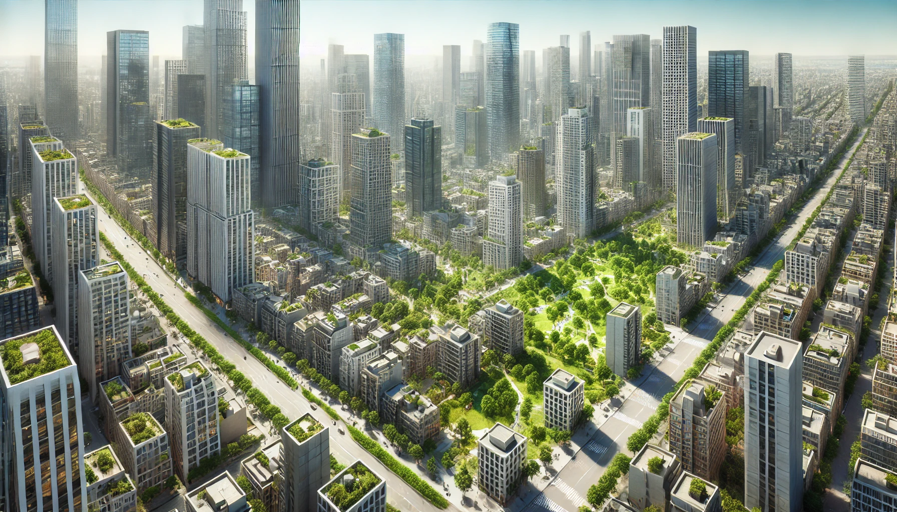
Transforming Urban Landscapes: How Tall Buildings and Strategic Green Space Placement Reduce City Temperatures
Research shows that 3D building metrics significantly impact urban land surface temperature more than 2D metrics, emphasizing the importance of taller buildings and strategically placed green spaces in reducing urban heat island effects. These insights provide practical guidance for urban planning to create cooler, more resilient cities.
Researchers from Lanzhou Jiaotong University, and Sun Yat-Sen University, Guangzhou, China delve into the intricate relationship between urban morphology and land surface temperature (LST), leveraging advanced machine learning techniques to provide nuanced insights. Urban morphology, encompassing both the two-dimensional (2D) layout and three-dimensional (3D) structure of urban landscapes, plays a critical role in shaping the thermal environment of cities. This research specifically examines the city of Xi'an in China, focusing on the effects of urban morphology on LST at both the irregular block scale and the regular grid scale, employing the eXtreme Gradient Boosting (XGBoost) model and SHapley Additive exPlanations (SHAP) method for analysis.
Unraveling the Urban Heat Island Effect
Urban heat islands (UHIs) are areas within cities that experience higher temperatures than their rural surroundings due to human activities and dense construction. This phenomenon is exacerbated by factors such as increased impervious surfaces and reduced vegetation. The study's primary aim is to understand how different aspects of urban morphology contribute to LST and to identify effective strategies for mitigating UHI effects.
The researchers collected data from various sources, including Landsat-8 OLI/TIRS images and high-resolution GaoFen-2 remote sensing images. These datasets provided detailed information on land cover, building heights, and road networks, which were essential for calculating urban morphological metrics. The study area was divided into 716 irregular blocks based on road networks and 6670 regular grids of 200m x 200m, allowing for a comprehensive analysis at different scales.
The Power of 3D Metrics
Using the XGBoost model, the study quantified the contributions of various urban morphological metrics to LST. The SHAP method was then employed to interpret these contributions and understand the interaction effects between different metrics. The results revealed that 3D building metrics had a more significant impact on LST compared to 2D landscape metrics. Specifically, average building height (AH) and the percentage of impervious surface (PLAND_IS) emerged as the most influential factors. Taller buildings generally had a cooling effect on LST, especially when the height exceeded 19 meters, while areas with a higher percentage of impervious surfaces exhibited a warming effect, particularly when this percentage surpassed 49 percent.
The study found that the interaction effects between 3D metrics were more pronounced than those between 2D and 3D metrics. For instance, the combination of high average building height and floor area ratio (FAR) resulted in a significant cooling effect. This suggests that strategic urban planning that incorporates taller buildings with lower building volumes can effectively reduce urban temperatures.
Greening the Urban Landscape
Additionally, the research highlighted the importance of green spaces in mitigating UHI effects. Although the overall contribution of urban green spaces (UGS) to LST was smaller compared to impervious surfaces and building metrics, their cooling effect was notable. The study observed that when the proportion of green spaces exceeded 48 percent, there was a significant reduction in LST. Furthermore, concentrated green spaces (high aggregation index) provided more effective cooling compared to scattered green spaces.
The findings underscore the complexity of urban morphology's impact on LST and the need for a multifaceted approach to urban planning. To mitigate UHI effects, cities should focus on increasing the average building height while maintaining a balance with green spaces and impervious surfaces. Specifically, urban areas with mean building heights below 19 meters should aim to enhance the compactness of green spaces to achieve better cooling effects. In contrast, mid- and high-rise building regions should prioritize urban ventilation to facilitate heat dissipation.
Looking Forward: Future Research Directions
The study also identified limitations and areas for future research. One significant limitation was the exclusion of 3D characteristics of urban green spaces due to data constraints. Future studies should incorporate these characteristics to provide a more comprehensive understanding of the urban thermal environment. Additionally, the study found that some urban morphological metrics exhibited different effects on LST at the block and grid scales, highlighting the importance of scale dependency in such analyses. Future research should explore these scale-dependent effects in more detail.
The study provides valuable insights into the complex interactions between urban morphology and LST, offering practical recommendations for urban planners. By optimizing the configuration of buildings and green spaces, cities can develop more resilient and sustainable urban environments. The findings emphasize the importance of integrating both 2D and 3D urban planning strategies to effectively mitigate UHI effects and enhance the overall thermal comfort of urban areas.
- READ MORE ON:
- Urban Landscapes
- Green Space Placement
- City Temperatures
- land surface temperature
- land surface temperature (LST)
- two-dimensional (2D)
- three-dimensional (3D)
- China
- eXtreme Gradient Boosting
- XGBoost
- SHapley Additive exPlanations
- SHAP
- SHapley Additive exPlanations (SHAP)
- Urban heat islands
- Urban heat islands (UHIs)
- LST
- GaoFen-2
- XGBoost model
- 3D characteristics
- urban green spaces
- FIRST PUBLISHED IN:
- Devdiscourse
ALSO READ
Historic U.S.-Ukraine Security Pact Signed to Bolster NATO Aspirations
Police Drill Bolsters Amarnath Yatra Security Ahead of Annual Pilgrimage
France and Belgium Bolster Defense Ties with John Cockerill Deal
Historic State Visit: Sheikh Hasina in New Delhi to Bolster Indo-Bangla Ties
Solstice and Strawberry Moon: A Celestial Double Delight


