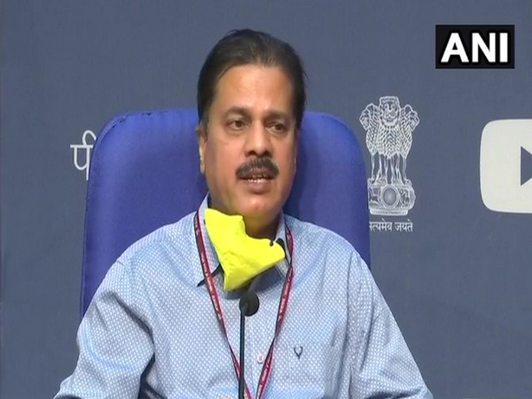
Odisha's Bhadrak, Balasore to have damaging impact for 2-3 more hours: IMD chief
Bhadrak and Balasore in Odisha will continue to have a 'damaging impact for two to three more hours' and after that the state will not face 'damaging impact', said India Meteorological Department (IMD) chief Mrutyunjay Mohapatra on Wednesday.

- Country:
- India
Bhadrak and Balasore in Odisha will continue to have a 'damaging impact for two to three more hours' and after that the state will not face 'damaging impact', said India Meteorological Department (IMD) chief Mrutyunjay Mohapatra on Wednesday. "The super cyclone Amphan is entering West Bengal coast near Sundarbans. The cyclone is moving as was expected. Since yesterday night, the impact of the cyclone is being seen in Odisha. With 106 km per hour, Odisha's Paradeep recorded the highest wind speed today. The wind speed in Balasore till now has been 91 km per hour and 74 km per hour in Sangbali," Mohapatra said during a video press conference here.
He further said that coastal Odisha districts like Bhadrak, Balasore, Kendrapada and Jagatsinghpur have witnessed heavy to very heavy rainfall in the past 24 hours. "The cyclone is going towards the Sundarbans area. After this we expect that it will move towards north and northeast direction and by today evening it will reach near Kolkata," he said while adding, "From today evening, the cyclone will touch South and North 24 Parganas, East Midnapur, Howrah, Hoogly and Kolkata. While the very strong winds have already started in South and North 24 Parganas and East Midnapur, according to reports the wind speed can reach up to 160 km per hour. We expect that by the time it reaches Kolkata, Howrah and Hoogly the wind speed will be 110-120 km per hour. Here the damage will be more." The IMD chief also said that wind speed of 155-165 km per hour will be seen in South and North 24 Pargana and East Midnapur. "The wind speed has started along with the landfall process. The front sector of the cyclone has reached the land. The Eye of the cyclone will now touch the land. The Eye is currently passing the South and North 24 Parganas. After this, the wind and rainfall will stop for half-hour and the sky might get cleared and then again the heavy rainfall and wind will begin."
"After the front sector of the cyclone is over then will come the rear sector of the cyclone. The wind speed which is currently going from East to West will be West to East during the rear sector. The rear sector of the cyclone will cause more damage," Mohapatra said. Giving super cyclone forecast for May 21, he said, "On May 21, the rainfall in West Bengal's Gangetic area will shift North. The maximum rainfall will be witnessed in Assam and Meghalaya. It might start from tonight. In the Sub-Himalayan region of West Bengal, there will be heavy to very heavy rainfall from tonight and on May 21 it will be maximum as the tropical cyclone is going towards North and North-East. Tomorrow morning, it will reach Bangladesh as a cyclonic storm and in West Assam, it will reach as depression or low pressure so even that area will witness rainfall."
From May 21, while there will be no rainfall in Odisha, the amount of rainfall will decrease in West Bengal, he added. (ANI)
(This story has not been edited by Devdiscourse staff and is auto-generated from a syndicated feed.)
ALSO READ
Kolkata Metro Steps Up Anti-Suicide Campaign Amid Rising Concerns
Kolkata Derby Moved to Guwahati Amid Security Concerns
Bengal's Football Warriors Score Kolkata Police Roles
Kolkata Derby Showdown Relocates as East Bengal FC Faces Formidable Challenges
High Court Denies APDR Stall at Kolkata Book Fair


