Pix2Streams: Enhancing Global Water Monitoring through High-Resolution Hydrology Maps
Pix2Streams, an innovative technique that merges satellite and LiDAR data to produce dynamic, high-resolution hydrology maps, improving early drought detection and global water resource management. This method significantly enhances the accuracy and frequency of mapping smaller, previously unmonitored streams.
In a groundbreaking study, a team of researchers introduced Pix2Streams, a revolutionary approach that merges satellite and LiDAR data to create dynamic hydrology maps. This initiative, led by experts from the Frontier Development Lab, University of Valencia, University of Bristol, Arizona State University, and several other prestigious institutions, aims to tackle the critical challenge of mapping Earth's constantly changing inland water systems with unprecedented accuracy.
Revolutionizing Water Mapping with Pix2Streams
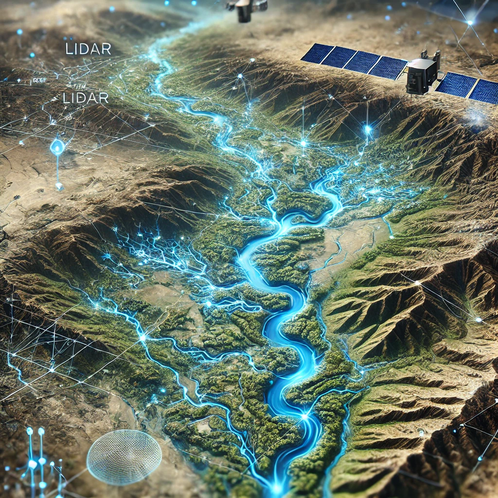
Traditional satellite methods are limited to offering monthly snapshots of the largest water bodies, often neglecting the smaller tributaries that play a crucial role in early drought detection and understanding water impermanence. These smaller streams, although significant, have remained largely unobserved. Pix2Streams addresses this gap by employing advanced deep-learning models to enhance water segmentation to a resolution of 50 cm per pixel, which marks a substantial improvement over previous techniques. The researchers utilized WorldView3 satellite images to detect streams as narrow as 1 to 3 meters and integrated multiple sensor data in a model called WasserNetz. This model combines a multi-day window of 3-meter resolution PlanetScope imagery with 1-meter resolution LiDAR data, enabling the detection of streams 5 to 7 meters wide and generating a water probability map at the pixel level.
Harnessing High-Resolution Data for Precision
The team took these high-resolution water maps and integrated them with synthetic valley network maps derived from digital elevation models (DEM) to create detailed snapshots of stream-level flow. Applying this innovative approach to a two-year daily time-series of PlanetScope images across three U.S. watersheds resulted in the first high-fidelity dynamic maps of stream flow frequency. Such advancements hold the potential to fundamentally improve water resource management on a global scale.
The Importance of Small Streams in Drought Detection
The study underscores the critical importance of small and medium-sized streams, which constitute a significant portion of the flowing network. These streams are often inadequately mapped and monitored, despite their vital role in early drought detection. Current datasets, such as the National Hydrography Dataset (NHD) in the United States, primarily include larger rivers and some smaller streams, frequently omitting those less than 90 meters wide. However, these smaller streams contribute nearly half of the global surface water extent.
Previous efforts to map water using medium-resolution imagery from satellites like Landsat and Sentinel were constrained by their spatial resolution and temporal frequency. Although very high-resolution imagery from satellites such as WorldView can produce detailed maps, these are generally task-specific and lack consistent temporal coverage. The daily high-resolution coverage provided by PlanetScope bridges this gap, enabling near real-time monitoring of previously unseen streams.
Dynamic Hydrology Maps: A New Tool for Water Management
The Pix2Streams pipeline comprises two primary components: pixel-level mapping and stream-level mapping. Pixel-level mapping employs a modified U-Net architecture, known as WasserNetz, which merges multispectral satellite imagery and LiDAR data to produce water probability maps at high resolution. Stream-level mapping aggregates these pixel-level probabilities over synthetic valley networks to create dynamic hydrology maps that depict daily, monthly, and yearly stream flow frequencies.
The researchers validated their model's performance using accuracy metrics at both pixel and polygon levels. The WasserNetz model, which combines PlanetScope and LiDAR data, outperformed models trained solely on PlanetScope imagery, demonstrating the significant benefits of multi-sensor fusion. Moreover, the model trained on high-resolution WorldView3 images achieved even higher accuracy, highlighting the crucial role of spatial resolution in detecting narrow streams.
The study also examined the sensitivity of the model to stream width, revealing that WasserNetz significantly improved performance in complex landscapes characterized by shadows and canopy cover. This finding indicates that the combination of optical and LiDAR data can substantially enhance water detection in challenging environments.
The resulting dynamic hydrology maps offer a powerful tool for monitoring water availability and managing water resources. By extending this method to other regions and refining the interpretation of stream-level probabilities, the researchers aim to improve the robustness and data efficiency of stream mapping. The connectedness inherent in dendritic stream networks presents opportunities for new algorithmic developments, which could further advance this field.
The research, conducted during the 2020 Frontier Development Lab with support from NASA, ESA, and other partners, represents a significant leap forward in hydrology and water resource management. The innovative integration of multi-sensor data and advanced deep learning models provides a promising solution to the complex challenge of dynamic water mapping, with wide-ranging potential applications around the world.
Overall, Pix2Streams demonstrates how cutting-edge technology can transform our understanding and management of water resources. By accurately mapping even the smallest streams, this approach offers critical insights into water availability and drought early warning systems. As the team continues to refine and expand their methods, the future of water resource management looks increasingly promising, with the potential to address some of the most pressing environmental challenges of our time.
- FIRST PUBLISHED IN:
- Devdiscourse


