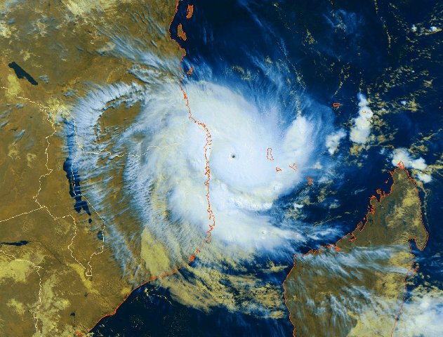
Flash flood watches effect as cyclone Barry moves with 22 mph

- Country:
- United States
The flash flood watches have been made in effect across portions of the northern mid-Atlantic. There are no coastal watches or warnings in effect as of now. The post-tropical cyclone Barry is moving toward the east-northeast near 22 mph (35 km/h) and this motion is expected to continue through tonight.
Maximum sustained winds are near 15 mph (30 km/h) with higher gusts. Little change in strength is forecast during the next 48 hours. The estimated minimum central pressure is 1010 MB (29.83 inches).
Barry is expected to produce additional heavy rain accumulations of around1 to 3 inches from portions of the Upper Ohio and Upper Tennessee Valleys into the northern Mid-Atlantic and southern New England.
- READ MORE ON:
- Flash flood watches
- Cyclone barry
- heavy rainfall
- coastal watches


