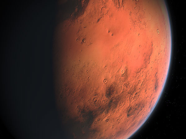
New detailed Mars water map shows locations of hydrated minerals on the Red Planet

A new water map of Mars shows the locations and abundances of aqueous/hydrated minerals across the Red Planet, changing the way we think about the planet's watery past, and showing where we should land in the future.
The map has been created using data from ESA's Mars Express Observatoire pour la Mineralogie, l’Eau, les Glaces et l’Activité (OMEGA) instrument and NASA’s Mars Reconnaissance Orbiter Compact Reconnaissance Imaging Spectrometer for Mars (CRISM) instrument.
"This is a paradigm shift for our understanding of the red planet's history. From the smaller number of aqueous minerals that we previously knew were present, it was possible that water was limited in its extent and duration. Now, there can be no doubt that water played a huge role in shaping the geology all around the planet," the European Space Agency (ESA) said.
🆕 A new map of #Mars is changing the way we think about the planet’s watery past, and showing where we could land in the future 👉https://t.co/xIc8KPAPxM #ExploreFarther pic.twitter.com/Z3XwHVotph
— ESA Science (@esascience) August 22, 2022
According to the agency, ten years ago, planetary scientists knew of around 1000 outcrops on Mars. This made them interesting as geological oddities. However, the new map has reversed the situation, revealing hundreds of thousands of such areas in the oldest parts of the Red Planet.
Planetary scientists have tended to think that only a few types of clays minerals on Mars were created during its wet period, then as the water gradually dried up, salts were produced across the planet, explains John Carter, Institut d’Astrophysique Spatiale (IAS) and Laboratoire d’Astrophysique de Marseille (LAM), Université Paris-Saclay and Aix Marseille Université, France.
The new Mars water map shows that it's more complicated than previously thought. While many of the Martian salts probably did form later than the clays, the map shows many exceptions where there is intimate mixing of salts and clays, and some salts are presumed to be older than some clays.
ESA says the new data will help answer exciting questions about the planet's history. The maps help determine landing sites for future robotic missions and could help crewed missions find locations for extracting water for in situ use.
- READ MORE ON:
- new Mars water Map
- water on Mars
- ESA
- Red Planet


