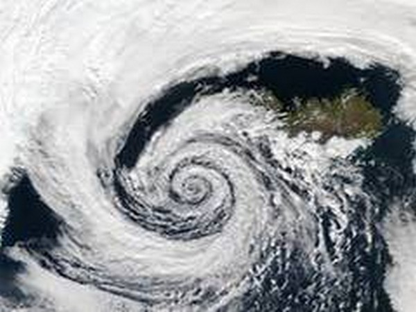
Esri releases map to track live path of Yaas cyclone
The GIS Geographic Information System Map will provide early information like forecast position, forecast trend, observed track for cyclone, wind speed, watches, and warnings among others, that can be useful in mapping and risk preparedness, Esri said in a statement.The objective is to give a common view to relevant authorities, departments and social organisations in order to maximize reach-out to citizens so that there is timely action for the safety of life and property.The cyclone Yaas Live Path Map is specifically created to provide updates leveraging GIS technology.
- Country:
- India
GIS firm Esri India on Tuesday released a map for the public to track the live path of Yaas cyclone, which is likely to make landfall near Balasore in north Odisha on May 26. The GIS (Geographic Information System) Map will provide early information like forecast position, forecast trend, observed track for cyclone, wind speed, watches, and warnings among others, that can be useful in mapping and risk preparedness, Esri said in a statement.
“The objective is to give a common view to relevant authorities, departments and social organisations in order to maximize reach-out to citizens so that there is timely action for the safety of life and property.
“The cyclone Yaas Live Path Map is specifically created to provide updates leveraging GIS technology. This will help citizens and organisations involved to prepare and temporarily relocate to less severe areas,'' Esri India Managing Director Agendra Kumar said. Cyclonic storm Yaas is likely to make landfall near Balasore in north Odisha sometime around Wednesday noon. It can possess a speed of 155-165 kmph, gusting to 185 kmph, the Met department had said on Monday. ''At Esri India, our focus is to bring information together from different sources and share in a common GIS platform so that it can help reduce damages and facilitate a collaborative response in saving lives and property,'' Kumar said. The map, available on Esri website, will provide updates on the weather, wind speed, number of households and population in the area. The map is consolidating the information from various authoritative feeds and sources for an integrated view on the movement and impact of cyclone Yaas, Esri said.
(This story has not been edited by Devdiscourse staff and is auto-generated from a syndicated feed.)


