NZ Nears Full 3D Mapping Coverage with LiDAR to Boost Growth and Safety
“For the first time, this information is available as a single, comprehensive national dataset,” said Minister Penk.
- Country:
- New Zealand
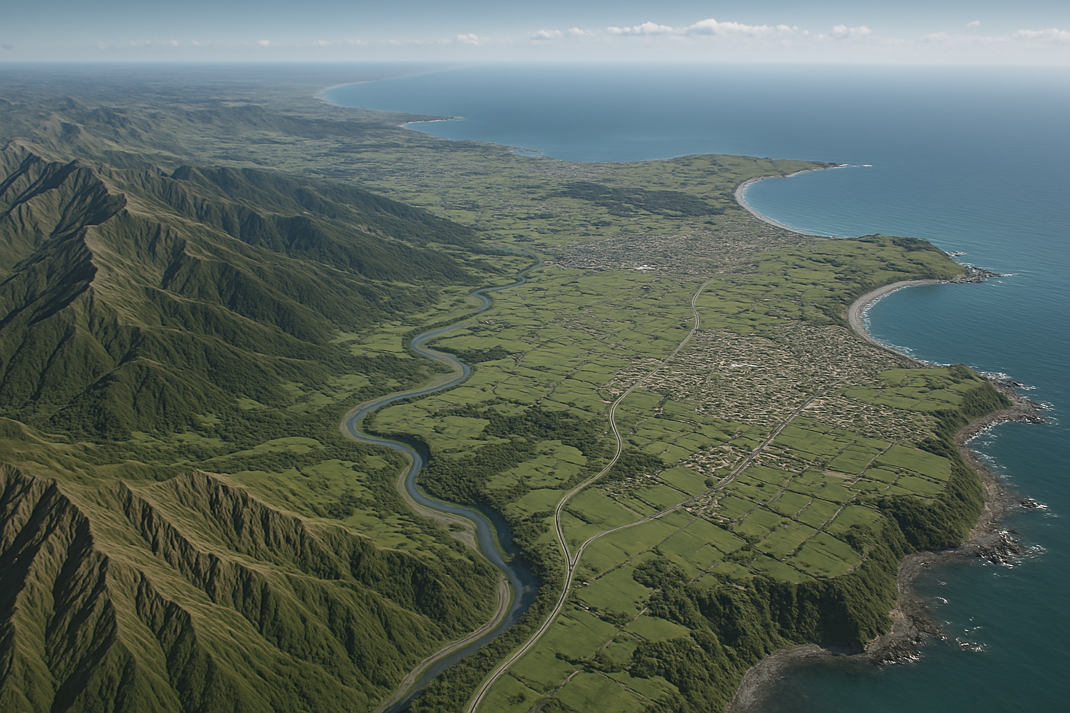
New Zealand has achieved a major milestone in its national geospatial capabilities, with over 80 percent of the country now mapped in high-resolution 3D using LiDAR (Light Detection and Ranging) technology. This comprehensive dataset, announced by Land Information Minister Chris Penk and Associate Regional Development Minister Mark Patterson, is poised to revolutionize land management, environmental monitoring, regional development, and natural hazard planning across Aotearoa.
A National First: Unified 3D Mapping Dataset
“For the first time, this information is available as a single, comprehensive national dataset,” said Minister Penk. “Rather than relying on fragmented, region-by-region data, we can now analyse the vast majority of the country at once. This has enormous value for national and local government decision-making, infrastructure planning, and risk assessment.”
The 3D mapping project was made possible through the PGF-LiDAR programme—an initiative co-funded by 10 regional councils and supported by $14.6 million in grants from the former Provincial Growth Fund, administered by Kānoa – the Regional Economic Development & Investment Unit.
Aircraft equipped with advanced LiDAR sensors have flown across the country, emitting pulses of light to measure precise distances from the aircraft to the ground. This method generates highly accurate 3D models of the terrain, with a resolution down to the nearest metre. The result is a rich, detailed digital picture of New Zealand’s landforms, rivers, vegetation, and man-made structures.
Supporting Resilience, Safety, and Smart Growth
The data serves as a critical tool for councils and emergency services by enabling more accurate modelling of flood zones, landslide-prone areas, coastal erosion, and other natural hazards. With New Zealand’s landscapes constantly shifting due to both natural processes and human development, having this baseline data allows for better long-term planning and faster response in times of crisis.
“It’s an essential tool for councils to better manage natural hazards by modelling flood zones, identifying slip-prone land and creating hazard maps to help keep people safe,” said Penk. “We can also rapidly collect new data following earthquakes, landslides or storms to assess damage and aid in recovery efforts.”
Boosting Productivity and Environmental Stewardship
Beyond hazard management, LiDAR is unlocking new possibilities in regional development. Minister Patterson highlighted its application in agriculture, forestry, and land-use monitoring.
“The 3D maps enable smarter planning and investment in regional forestry planting operations and greater agricultural productivity,” Patterson said. “Councils are applying the data to support ecosystem services such as managing water runoff, improving nutrient retention, enhancing shade and UV protection, and even assessing the visual impact of landscape changes.”
The data also assists in compliance monitoring, enabling authorities to identify unconsented earthworks, illegal quarrying, tree removals, or unauthorized building activity—strengthening both environmental protection and regulatory oversight.
Cultural Partnerships and Future Contributions
A new partnership with Ngā Tāngata Tiaki o Whanganui is set to contribute LiDAR data for the entire Whanganui River catchment. This culturally and environmentally significant area will be fully mapped and incorporated into the national dataset by the end of the year.
This collaboration reflects the government’s commitment to incorporating iwi and hapū perspectives in environmental management and data sovereignty.
Looking Ahead
With 80 percent coverage already achieved, the government’s next goal is to complete full LiDAR mapping of New Zealand. As more data becomes available, the integration of 3D mapping into planning tools, public dashboards, and scientific models is expected to increase.
The national LiDAR dataset will be made publicly available through platforms managed by Toitū Te Whenua Land Information New Zealand, ensuring broad access for researchers, planners, developers, and communities alike.
“This is a powerful resource that puts world-class geospatial capability into the hands of the people who need it most,” said Penk. “From improving disaster preparedness to enhancing agricultural yields and protecting the environment, this technology will shape the future of New Zealand in countless positive ways.”
- READ MORE ON:
- Light Detection and Ranging
- Mark Patterson
- Chris Penk


