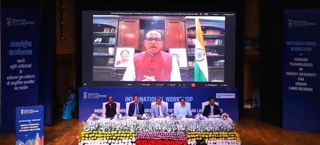
Union Minister for Rural Development, Shri Shivraj Singh Chouhan, inaugurated the International Workshop on "Modern Technologies in Survey-Resurvey for Urban Land Records" via video conferencing at the Dr. Ambedkar International Centre, New Delhi. In his keynote address, he reaffirmed the Government of India’s commitment to advancing digitization and modernizing land records through the Digital India Land Records Modernization Programme (DILRMP).
Minister Chouhan emphasized the critical role of accurate, transparent, and digital land records in optimizing land resource management, policy formulation, and efficient public service delivery. He highlighted how digital land records can enhance property tax administration, urban planning, and transport systems, as well as aid in drainage and flood management. He further underscored the importance of coordination between Central and State Governments in achieving these goals.
The Minister also elaborated on the steps taken in Madhya Pradesh, where drone surveys have been completed in 34 towns, and Orthorectified Imagery (ORI) production has been finalized for 12 towns. He expressed satisfaction with the Department of Land Resources' pilot project "National Geospatial Knowledge-Based Land Survey of Urban Habitations (NAKSHA)," which aims to create comprehensive land records for over 100 cities across India. This project is expected to be completed within a year, followed by a nationwide survey covering all urban areas within five years.
Chouhan also highlighted how aerial photography with 3D imagery and GPS coordinates will expedite land surveys and improve urban planning and property tax assessments. He noted that this two-day international workshop will provide a platform for consulting global experts and discussing the use of emerging technologies for land management. Experts from countries including South Korea, Spain, and the USA are participating in the workshop, offering insights into global best practices for establishing and maintaining digital urban land records.
The workshop brought together key stakeholders, including Revenue and Urban Development Secretaries from 34 States/UTs, municipal officers from 120 Urban Local Bodies, and international experts. The event also featured a technology exhibition showcasing innovations from over 30 companies.
Shri Manoj Joshi, Secretary of the Department of Land Resources, highlighted the pilot program's aim to accelerate drone-based surveys across cities, with Survey of India acting as a technical partner. The insights gained from these efforts are expected to help streamline the modernization of urban land records across India.